
East Tennessee / History & Exploration
TELLICO PLAINS
Ancient mounds, forgotten mysteries, gold fever & an explorer's guide
A mountain valley with ancient earthworks, powerful Cherokee towns, a vanished mining rush and more history than its quiet modern streets reveal.
Kappin Library Audio
Listen to this article
AI-narrated edition 39 min 34 sec
There is something about Tellico Plains that makes it feel older than the little town you see today. Maybe it is the mountains surrounding the valley, or the Tellico River flowing out of the Cherokee National Forest.
Most people know it as the gateway to the Cherohala Skyway, a place to grab breakfast, enjoy a waterfall or head into the mountains. But that version barely scratches the surface.
More than a century ago Smithsonian researchers reported multiple groups of ancient earthen mounds here. Great Tellico was once an important Cherokee town. A European visitor recorded a religious figure and a mysterious cave. Decades before the California Gold Rush, prospectors were extracting gold from the nearby Coker Creek district.
Later the town witnessed forced removal, iron production, logging, a major cannery and even German prisoners of war. Much of that history is nearly invisible today. So what was this valley like before the modern town, and what remains worth investigating?
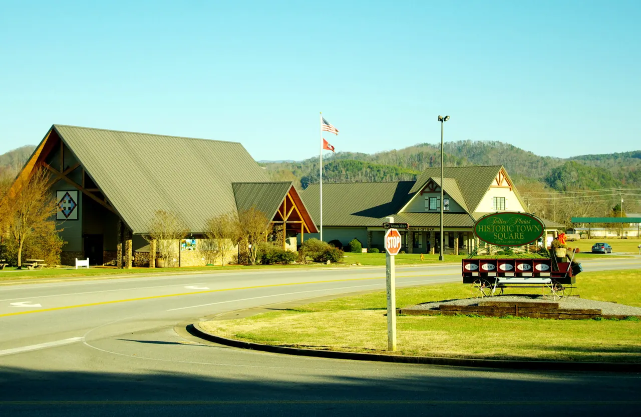
A Valley With Thousands of Years of Human History
Before there was a Tellico Plains, there was the valley.
The Tellico River emerges from the Appalachian Mountains into lower, more open ground. Fertile river bottoms, fresh water, wildlife, forests and passages through the mountains offered resources people could use across many generations.
Archaeology throughout the broader Little Tennessee Valley demonstrates Native American history stretching back thousands of years, well before the historic Cherokee towns encountered by Europeans. But it would be a mistake to treat all those generations as one unchanging culture. Communities changed their tools, settlements, food production, ceremonies and connections with neighbors. Over time, some created increasingly permanent settlements and substantial public spaces.
One particularly visible expression of that history was the construction of earthen mounds.
And Tellico Plains had them.
In 1889, Smithsonian archaeologist Cyrus Thomas published The Problem of the Ohio Mounds, an influential work examining the earthworks of eastern North America. Although the title refers to Ohio, Thomas discussed findings in other regions too, including three or four groups of mounds around Tellico Plains.
That means groups of earthworks, not merely three or four individual objects. Later local accounts attributed to Smithsonian field investigator John W. Emmert describe a larger number of individual mounds, but the exact count should not be accepted without checking his original records.
The National Park Service reports that mounds were still visible in fields near what is now the Charles Hall Museum as late as 1926.
Imagine standing in that valley less than a century ago and seeing remnants of structures built by people long before the modern town.
What did those mounds look like? Did they serve as platforms for important buildings, burial places, or different purposes across different generations? Were the recorded groups contemporary, or did the valley accumulate earthworks during several periods?
Those are questions worth pursuing, but their existence is not evidence for an unknown lost race. The structures belong in the story of the Indigenous societies of this region.
What makes the scene mysterious today is that the earthworks largely disappeared from everyday view, and so did most visitors' awareness of them.
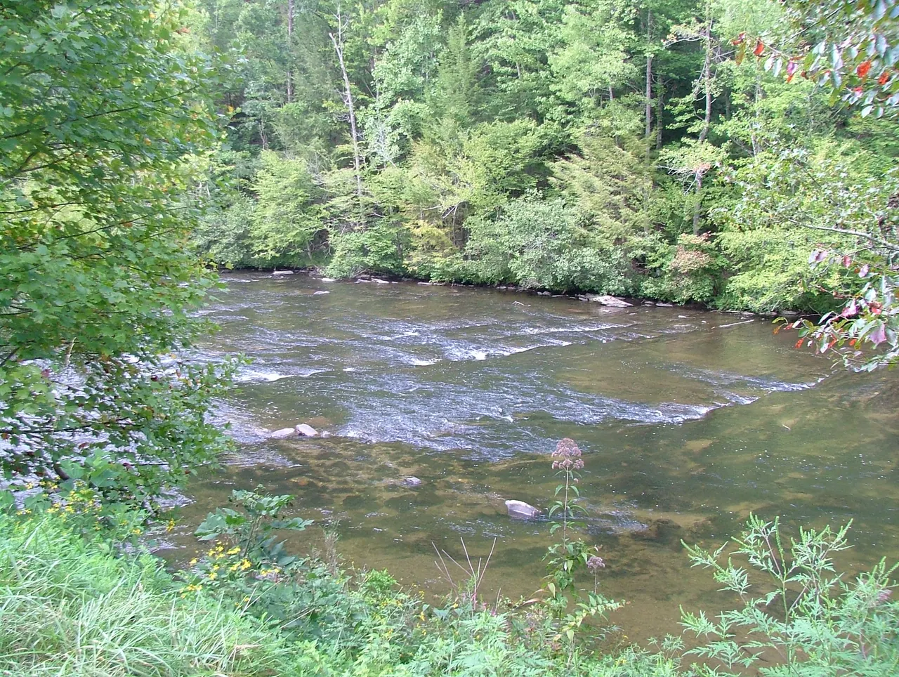
The Smithsonian Has Artifacts From a Tellico Mound
The early mound surveys were not the end of the story.
In 1963, William F. Stiles excavated a mound associated with the Stokely Canning Plant property, on the south side of the Tellico River near Tellico Plains. Objects from that work are recorded in the Smithsonian National Museum of the American Indian's online collections.
The catalog includes charred corn kernels, a charred corncob, a grinding stone, a carved bone awl and a bone object categorized as a ceremonial scarifier.
These aren't artifacts invented by local legend. They are museum-cataloged finds with a specific reported excavation context.
The museum broadly attributes the material to the Mississippian and historic periods, possibly Mississippian or Cherokee, with a wide estimated span of AD 900–1800. That is a catalog estimate, not a precise radiocarbon date for the mound.
The evidence suggests cultivation and specialized material activities, and it raises useful questions about daily life and public or ceremonial practice.
It doesn't tell us who every builder was, which ceremonies were held, or precisely when a particular mound was constructed.
One distinction matters: we cannot assume the 1963 excavation and each mound group described in the 1880s were exactly the same site. They are pieces of a larger archaeological landscape whose full plan is not yet established here.
For a town often presented as a gateway to outdoor recreation, that's an extraordinary amount of history to find in the museum record.
Great Tellico: More Than a Mountain Village
Before Tennessee entered the Union, the Tellico River valley contained important Cherokee communities, including Great Tellico and nearby Chatuga.
English colonists used the term Overhill Cherokee for towns on the western side of the Appalachian mountain barrier. These communities were connected by language, clan relationships, trade and diplomacy, but Cherokee government did not operate like a European monarchy.
Great Tellico was important enough that archaeologist Gerald F. Schroedl has suggested it may have held a principal or mother-town role before centers such as Tanasi and Chota became more prominent.
A major Cherokee town was more than a scattering of cabins. Public buildings, plazas, homes, gardens and cultivated fields formed a working community. Council houses were places where politics, ceremony, community deliberation and social life intersected.
Try to picture the landscape that way.
Instead of the present-day roads and storefronts, imagine a network of river-bottom settlements, cultivated fields, gathering places and paths leading into the surrounding mountains.
In March 1730, Scottish adventurer Sir Alexander Cuming came to Great Tellico and met Moytoy, a prominent Cherokee leader.
Cuming wanted influence with Cherokee leadership on behalf of British interests. He later helped promote Moytoy under a European-style title often rendered as 'Emperor of the Cherokee.' The ceremony and diplomacy were historical events, but the title did not turn Cherokee government into a monarchy.
The larger point is that Great Tellico mattered. It attracted diplomatic attention because this valley was part of the political world of the southern Appalachians.
And Cuming recorded something else during his visit.
Jacob the Conjurer and the Petrifying Cave
Cuming's account of March 29, 1730, mentions a petrifying cave and a figure called Jacob the Conjurer while he was at Great Tellico.
The original passage is brief, but the combination is memorable: a visiting European, a Cherokee religious specialist, and a cave described by a name suggesting mineral formations or a geological curiosity.
What was the cave? Where was it? Did it have ceremonial significance as well as geological interest?
The surviving description does not locate the cave precisely or explain what occurred there. Nor does it establish that Jacob belonged to any particular hereditary priesthood.
Later local histories offer more elaborate retellings, including a sacred crystal associated with the Uktena, a powerful serpent being in Cherokee tradition. Those stories should be identified as later traditions or interpretations, not presented as proven details of Cuming's eyewitness report.
James Mooney documented the Uktena and related sacred-object traditions in Myths of the Cherokee. They are important aspects of recorded Cherokee oral history and religious thought. They are not evidence of a literal giant serpent.
Still, the bare facts give us an unusually vivid glimpse into Great Tellico's religious world.
A real visitor wrote down a real encounter. The details that could explain it have become much harder to recover.
And that brings us to an even more controversial story.
The Ani-Kutani: A Forgotten Cherokee Priesthood?
Among the accounts gathered by anthropologist James Mooney for Myths of the Cherokee is the story of the Ani-Kutani.
The name appears under several historical spellings, and Cherokee informants did not agree on every detail of who the Ani-Kutani were.
In one set of traditions, they were a powerful hereditary religious order with authority over important ceremonies. Their power reportedly became oppressive, leading to an uprising that destroyed the order or ended its hereditary privileges.
In another interpretation Mooney recorded, some informants associated the Ani-Kutani with an earlier population and the construction of ancient mounds. Other informants considered them a priestly class within Cherokee society.
That disagreement is fascinating. It means discussion about the identity of mound builders and older religious institutions was present in accounts collected from Cherokee sources, rather than being an invention of modern internet mystery culture.
But no evidence examined for this article establishes that the Ani-Kutani built the mounds at Tellico Plains. Their story is not proof of a foreign or pre-Cherokee civilization here.
Anthropologist Raymond D. Fogelson later examined whether the tradition might preserve a memory of transformations in Cherokee political and religious authority. A story about the downfall of a priestly order can be read as a record of cultural change without accepting every dramatic detail as a dated historical event.
Mooney also recorded a tradition called The Mounds and the Constant Fire, associating important ceremonial townhouses and sacred fires with mound sites. This helps explain why an earthwork could occupy a central place in public and spiritual life.
Could earlier institutions have influenced the ceremonial world of Great Tellico? Possibly. Could Jacob the Conjurer have inherited some practices? That remains speculative.
We don't have a direct geographic or archaeological link between the Ani-Kutani tradition and a specific Tellico Plains mound. That is the crucial distinction.
The stronger story is not about declaring the mystery solved. It is about appreciating the complexity of Cherokee historical memory and the limits of the evidence that survives.
The Ancient Highways Through the Mountains
On a modern map, Tellico Plains can look tucked away behind a wall of mountains. Historically, that impression is misleading.
Indigenous communities traveled established mountain pathways long before the roads we recognize today.
One important corridor was the Unicoi Path, later followed in part by the Unicoi Turnpike. Routes through these mountains linked Cherokee towns with communities farther south and east.
Travelers carried more than trade goods. They carried messages, family connections, diplomatic news, ideas and cultural practices.
The Appalachians were not an impassable boundary.
That raises a larger question: how far did the region's ancient exchange networks extend?
Archaeology shows that Indigenous societies across eastern North America participated in long-distance exchange. Certain artistic and ceremonial traditions have prompted researchers to compare developments across widely separated regions.
But it is a leap from regional exchange to claiming that priests from Mexico lived at Great Tellico or that a particular Mexican object passed through Tellico Plains.
No direct Mesoamerican connection to a Tellico Plains mound has been established here.
The important fact is already compelling: generations of people inhabited a mountain crossroads connected to a much larger Indigenous world.
The most powerful later use of the Unicoi route, however, would be tragic.
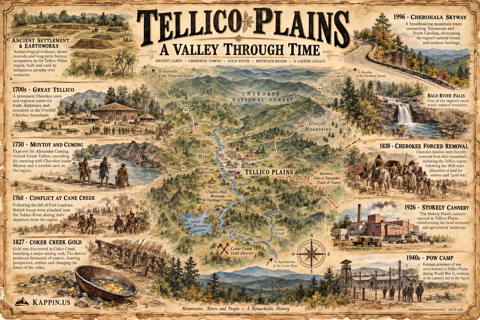
War, Treaties and the Trail of Tears
The eighteenth century brought expanding contact and increasingly difficult relationships between Cherokee towns and European colonial powers.
Trade opened economic opportunities, but also introduced political dependencies and conflict. War between the Cherokee and British erupted in the 1750s.
In 1760, after Fort Loudoun surrendered, departing British soldiers were attacked in the broader Cane Creek and Tellico River region. Historical accounts disagree over the precise location and some details, but the episode is a significant part of the Anglo-Cherokee War.
Further conflict followed during the American Revolution and the decades of American expansion.
An 1819 Cherokee treaty transferred substantial areas of the region to the United States, while Cherokee families continued struggling to preserve homes and rights under increasingly unfavorable conditions.
In June 1838, the National Park Service reports that more than 3,000 Cherokee people were marched through the Tellico Plains area during forced removal.
Consider what that means for the old roads.
Routes created and traveled by Indigenous communities for generations were turned into corridors along which Cherokee families were compelled to leave their homeland.
The Unicoi Turnpike became part of the Trail of Tears landscape.
That history should never be reduced to a romantic story about a vanished people. Cherokee communities, governments, languages and cultural traditions remain alive today.
But another pressure was already building nearby.
People had begun finding gold.
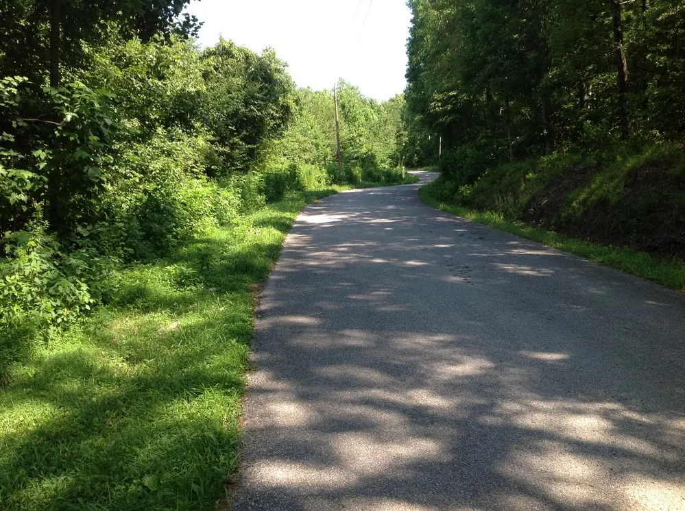
Gold Fever: Tennessee's Rush Before California
When Americans think of the gold rush, California usually comes to mind.
Fewer realize that prospectors were working the Coker Creek district of southeastern Tennessee more than twenty years before the California rush began.
According to the U.S. Geological Survey, gold was discovered in the district in 1827.
At that time, the surrounding country was still Cherokee territory. Prospectors entered anyway, searching stream gravels and weathered deposits for gold released from mineral-bearing rock.
What began as prospecting grew into a mining district.
Records describe hundreds of miners washing sediment, digging deposits and attempting to extract as much gold as the mountains would yield. By the late 1850s, local historical accounts describe hundreds of people involved in mining, including free and enslaved Black workers.
That complicates the familiar image of a lone prospector with a pan.
This was an economic enterprise connected to land ownership, labor, equipment and expanding markets.
How much gold did it produce?
The USGS estimated roughly 9,000 troy ounces from the Coker Creek district over its historical productive life. Earlier published accounting reports about $46,023 in placer gold recovered through 1854. Some local historical sources give higher totals or longer periods.
Those figures should not automatically be compared as though they measured the same activities or time spans. Records are incomplete, and private transactions could have escaped official reporting.
It's reasonable to wonder how much production went unrecorded. That uncertainty does not establish a cover-up or enormous hidden goldfield.
There are also stories of unusually large nuggets and early prospectors, but the more sensational claims deserve precise source checking before being repeated as fact.
Coker Creek never became California, but its history lasted far longer than a brief burst of excitement.
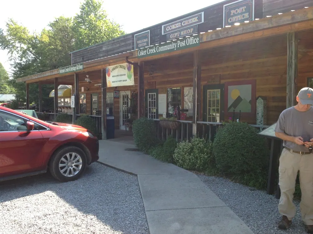
Fort Armistead: Gold and Cherokee Dispossession
The discovery of gold put economic pressure on a landscape Cherokee communities still regarded as home.
Unauthorized miners crossed into Cherokee territory, and complaints about prospectors and land encroachment intensified.
In 1832, a federal military presence was established around Coker Creek. Fort Armistead initially had a role associated with restraining unauthorized intrusion and protecting Cherokee rights against prospectors.
Only a few years later, the same region became part of the infrastructure and geography of Cherokee removal.
That reversal deserves attention.
Gold was not the single cause of removal. Land speculation, settler expansion and government policy were already reshaping the region. But mineral wealth gave outsiders another economic reason to press for access.
Contemporary land records and later genealogical summaries also refer to special 40-acre 'gold lots' in the Ocoee District after Cherokee dispossession. Without examining the original transactions, we should not infer who profited most or claim to know the motives of individual purchasers.
The larger transformation is clear: the land was being surveyed, divided, sold, mined and repurposed.
And the search for gold continued even as other industries emerged.
Iron, Railroads, Timber and a Cannery
Gold wasn't the only resource that drew outsiders to the mountains.
Iron production became an important early industry at Tellico Plains. During the Civil War, the Tellico Iron Works manufactured material for the Confederacy before Union forces destroyed the operation.
The broader region's loyalties during the Civil War were complicated. East Tennessee contained substantial Unionist sentiment, and local political divisions were not always simple.
In later decades, the forests became a focus of commercial logging. Railroads made timber transport and manufacturing more practical, and companies such as Babcock Lumber became closely associated with the area's development.
Agriculture was transforming the valley too.
In 1926, a Stokely canning operation opened at Tellico Plains, creating jobs and new industrial structures in a landscape that had once contained Cherokee town sites and ancient earthworks.
The same year has another historical significance: the National Park Service identifies 1926 as a time when mounds could still be seen in fields near today's Charles Hall Museum.
We should not claim that every mound was destroyed by the cannery. Different archaeological locations and changing land uses cannot be compressed into one event.
But fields, roads, construction and industry unquestionably changed how the valley looked and what visitors noticed.
The cannery era also leads to one of the most unexpected stories in the region's modern history.
German Prisoners of War in the Mountains
During World War II, German prisoners of war were housed at Tellico Plains.
Historical research preserved in National Park Service materials reports prisoners working in the local cannery system, and the Tennessee Encyclopedia independently identifies Tellico Plains as a location where German prisoners were held.
For residents of a small mountain town, their presence must have been an extraordinary wartime experience.
The exact camp footprint, dates and prisoner totals deserve careful source checking, so we won't build the story around unverified specifics.
The broader historical sequence is already striking.
Ancient mound landscapes. Cherokee political centers. Gold mining. Ironworks and logging. A cannery. German prisoners during a global war.
Few visitors arriving for a scenic mountain drive would guess how many different histories intersected here.
From Working Mountains to Mountain Gateway
In the twentieth century, the mountains surrounding Tellico Plains were increasingly valued for outdoor recreation, tourism and public enjoyment alongside their continuing role as working landscapes.
The Cherokee National Forest protected and managed substantial areas of the region's mountains, forests and waterways.
In 1996, the Cherohala Skyway opened between Tellico Plains, Tennessee, and Robbinsville, North Carolina. Its approximately 43-mile route climbed toward expansive high-elevation overlooks and made the region one of the South's memorable scenic-driving destinations.
What once complicated travel became the main attraction.
But the story of the town is far richer than the view from a highway overlook.
To appreciate it, there's no substitute for exploring.
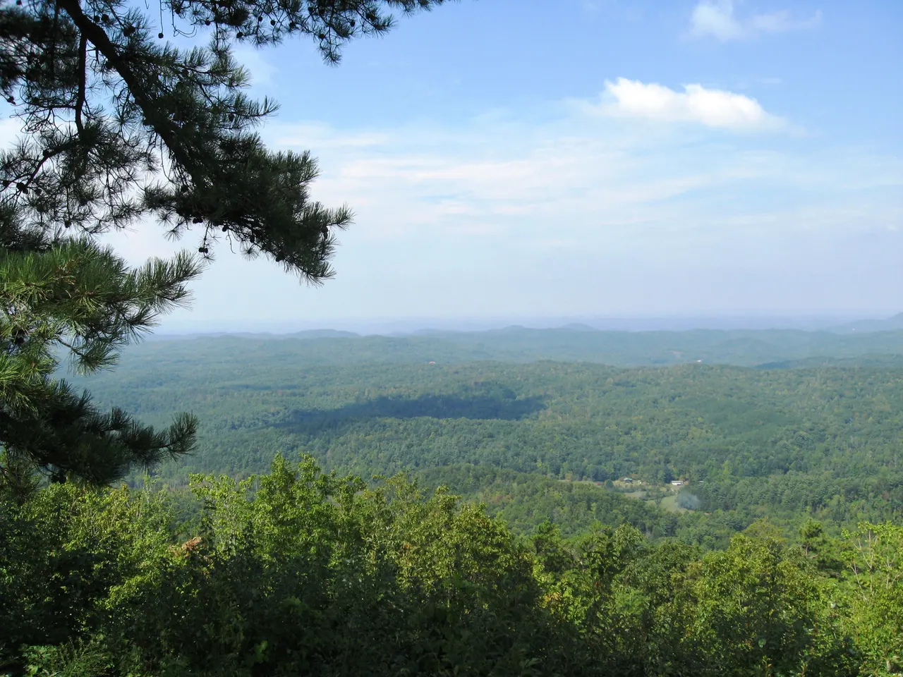
Start at the Charles Hall Museum
Best for: Cherokee history, local artifacts and understanding the town.
If you want to connect the places in this story with the objects and records that survive, start at the Charles Hall Museum and Heritage Center.
The museum has displays on Cherokee history, industry, communications, military history and local life. The grounds include a walking trail near fields associated with the former mound landscape.
That setting is part of the experience. You can stand near an area where earlier generations still recognized features of an Indigenous past.
The National Park Service describes admission as free. Check the museum's current hours before traveling.
Cherohala Skyway, Bald River Falls and Tellico River Road
Best for: Scenic drives, overlooks, waterfall photography and a mountain day trip.
The Cherohala Skyway is Tellico Plains' best-known attraction for good reason. It climbs from the lower valley toward mountain ridges and overlooks before continuing into North Carolina.
You don't need to drive the entire route to enjoy the landscape. A partial out-and-back trip can offer extraordinary scenery, especially in clear weather or during autumn color.
High elevations can be noticeably cooler than downtown. Take that seriously when packing.
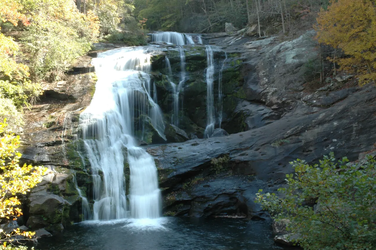
Bald River Falls is another standout. This waterfall drops roughly 90 feet and is viewed from a bridge along the Tellico River corridor. The approach itself follows a beautiful stretch of mountain river, passing cascades, rocky banks and forest.
Road repairs, access conditions and facilities may change. Verify access with the Forest Service before setting out rather than treating an old travel article as a live road report.
Indian Boundary: A Weekend in the Mountains
Best for: Family camping, swimming, fishing and easy lakeside walking.
Indian Boundary Recreation Area centers on a 96-acre mountain lake in Cherokee National Forest.
Visitors can swim, fish, picnic and walk a roughly 3.2-mile loop around the lake. The developed campground makes it an appealing base for families who prefer a comfortable site over a remote backcountry camp.
An overnight stay gives you more time for the Skyway, river drives and historical stops without rushing home.
Check reservations, operating seasons and facilities on Recreation.gov.
Walk the Historic Unicoi Turnpike
Best for: Connecting a forest walk with Cherokee and Trail of Tears history.
Near Coker Creek, a preserved section of the historic Unicoi Turnpike corridor can be walked as an interpretive trail.
This is more than a pleasant wooded path. It follows a route that grew from older Indigenous travel networks and later became associated with forced removal.
Interpretive information helps explain the corridor's role over time.
The National Park Service describes a roughly 2.5-mile section accessible for visitors. Check the exact access point, distance and trail information before your trip.
Few places make the layered history of this region feel so immediate.
Can You Still Pan for Gold Near Coker Creek?
Best for: Gold-rush history and a hands-on outdoor experience.
Yes, recreational hand-panning opportunities exist in the Tellico Ranger District. But this is where a little advance research matters.
The Forest Service's published guidance identifies Lyons Creek and Wildcat Creek as designated streams for hand panning in Cherokee National Forest. It does not grant permission to mine every creek around Coker Creek.
The agency has also warned about mercury in Coker Creek sediments and damage caused by previous gold collecting.
Mechanized mining is prohibited under the district's published guidance. Visitors also need to respect property ownership, avoid disturbing archaeological resources and confirm the current designated boundaries.
Get an up-to-date map and the latest rules directly from the Tellico Ranger District before going.
A simple gold pan is enough for an enjoyable outing at an authorized location. Gold is never guaranteed, but searching the same broader district that drew prospectors almost two centuries ago creates an unusual connection between history and the landscape.
Buck Bald, Downtown and a Practical Weekend Plan
Best for: Quiet overlooks, local food and a relaxed itinerary.
Buck Bald offers expansive mountain views and an alternative to the more heavily traveled scenic highway. Forest road surfaces and legal access vary, so verify routes rather than assuming every trail shown by a mapping app is open to vehicles.
Downtown Tellico Plains deserves a little time too. Grab a meal or baked goods at a locally owned business, walk through town, and imagine how different the valley might have looked when Great Tellico was an important Cherokee center.
For a day trip, I would start at the Charles Hall Museum, explore downtown, then devote the afternoon to the Skyway and a river or waterfall drive.
For a weekend, add camping at Indian Boundary, the Unicoi Turnpike trail, and a dedicated visit to the Coker Creek area. If gold panning is part of the plan, confirm authorized locations in advance.
There's no need to race through every stop.
Tellico Plains is the kind of place where a quiet side road, a river overlook or an unexpected museum exhibit can become the highlight of the trip.
What Might Still Be Unknown?
After following the history from ancient earthworks to modern mountain roads, we're left with several questions.
How extensive was the original mound landscape? What did Great Tellico look like at its height? Did the Ani-Kutani tradition preserve memories of an earlier kind of religious authority? Where was the petrifying cave Cuming mentioned in 1730? How much of the earliest gold district's production escaped written records?
Some questions may yield to more archaeology or archival research. Others may remain unresolved.
Uncertainty does not automatically point toward a lost civilization or suppressed evidence. Sometimes the problem is simpler: fragmentary records, changes to the land, and the difficulty of understanding societies through only a small part of what they left behind.
And Cherokee history is not the history of a vanished people. Cherokee governments and communities continue today, carrying living cultural traditions and historical knowledge.
The next time you drive into Tellico Plains, think about the people who inhabited the valley before Tennessee existed, the communities that built its earthworks, the Cherokee leaders who conducted diplomacy here, the families forced onto removal roads, the prospectors hunting gold, and the generations that worked in the town's industries.
Then look toward the mountains.
The scenic drive may be what brought you here.
But the history is what can change the way you see the place.